
Explore Te Karamū
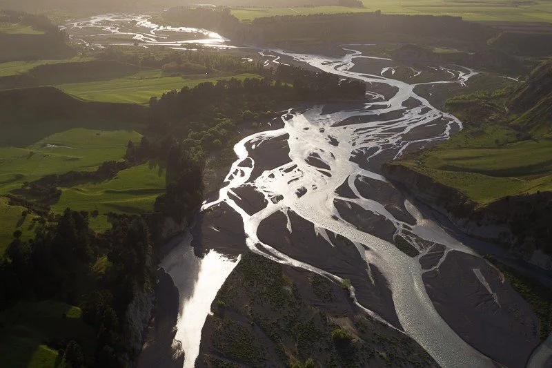
The Karamū catchment has a diverse mix of land uses comprising of highly productive cropland, sheep, beef grassland, industrial and urban landscapes. It has a rich history, with a lot of change over the last 160 years. The stream bed of the Karamū was once the main channel of the Ngaruroro River. After a major flood in 1867 the Ngaruroro River changed its course. The remaining collective streams, from Irongate to Longlands around Havelock North to Waipatu, came together to become Te Karamū. Māori named the area and stream for the karamū (Coprosma robusta) trees, which historically covered large areas of Hastings. Historically of great importance was that the Karamū and its tributaries provided an abundance of kai for the many whānau and hapū living in the area; tuna, pūrewa (kākahi), ngāore, kanaekura (piharau) and pātiki among them.
Our Catchment
-
Main land use types:
Sheep and Beef (18,368 ha; 36%)
Orchard, Vineyard or Other Perennial Crop (7,418 ha; 14%)
Short-rotation Cropland (6,026 ha; 12%)
Beef (4,263 ha; 8%)
-
The Greater Karamū catchment is divided into 14 subcatchments. Each subcatchment represents a smaller, local area within the wider catchment—like a neighbourhood within a larger community.
Awanui
Hastings Streams
Havelock North Streams
Irongate- Southland
Karamu-Clive Corridor
Louisa
Mangatahi
Mangateretere
Maraekakaho
Muddy Creek
Paritua-Karewarewa
Poporangi (Keruru)
Poukawa
Raupare